Community Corner
UPDATE: Rain, Rain and More Rain
Burnsville got drenched Thursday, as strong thundershowers in the morning and mid-afternoon dropped an a couple of inches of rain. The city's neighbors to the south received much more rain.


UPDATE: 10:30 p.m.—The weather alerts have expired for Burnsville and the rest of northern Dakota County. The city's neighbors to the south aren't so lucky.
The National Weather Service has extended a flash food warning until 1:30 a.m. Friday for southern Dakota County, northern Rice County and Goodhue County, areas where weather radar indicates up to 10 inches of rain fell Thursday.
Scattered thunderstorms continued to dump rain in the hardest-hit areas late Thursday night, the weather service says.
Find out what's happening in Burnsvillewith free, real-time updates from Patch.
For photos and more information about flooding to the south of Burnsville, to go to coverage on Northfield Patch.
____________________________
Find out what's happening in Burnsvillewith free, real-time updates from Patch.
Burnsville and northern Dakota County have been soaked with showers and thunderstorms much of Thursday, but it could have been worse.
The southern part of the county, as well as neighboring Rice County, have been pounded with storm after storm since early this morning.
reports that 3.77 inches of rain had fallen as of 6:05 p.m., according to the Weather Database. Power outages have occurred, and the city’s annual scheduled for tonight was called off.
Paul Douglas, in his weather blog on StarTribune.com, says Doppler radar returns are estimating that more than six inches have fallen in and around Northfield. Doppler also is showing that Burnsville has received about two inches of rain today.
Southern Dakota County, northern Rice County and Goodhue County are under a flash flood warning until 10 a.m. Those areas also are under an urban and small stream flood advisory, as are LeSueur and southern Scott counties.
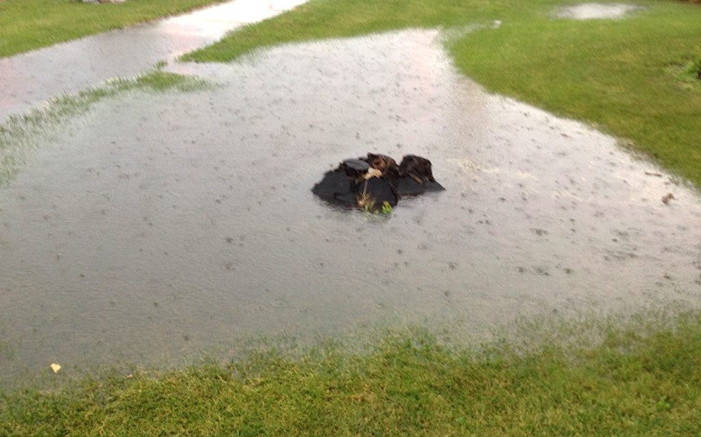
Closer to Burnsville, standing water was forming in farm fields in Lakeville Thursday afternoon. For instance, a rain-formed pond near Airlake Airport was approaching Cedar Avenue (County Road 23) just after 6 p.m.
Speaking of weather alerts, Dakota County is one of 14 counties in Minnesota under a severe thunderstorm watch until 10 p.m. Thursday, says the National Weather Service.
Some of Burnsville’s most potent rain fell shortly around 4 p.m. That thunderstorm caused standing water to accumulate on a number of roadways in the vicinity of , including on Nicollett Avenue and McAndrews Road.
The weather service says Burnsville and the rest of the Twin Cities area will get an opportunity to dry out on Friday, with partly sunny skies and a high near 84 predicted.
More rain is in the forecast for the weekend.
Click here for an updated forecast for Burnsville.


